
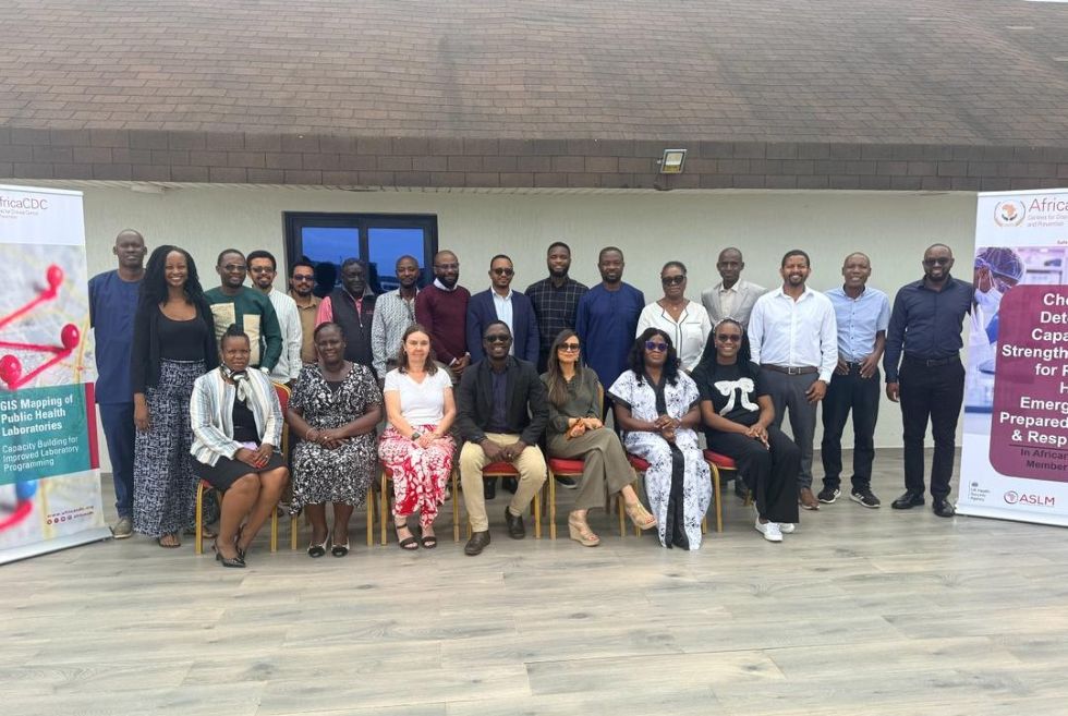
In early June 2026, a quiet but powerful transformation began to take shape in Accra, Ghana.
Experts from Africa CDC, the African Society for Laboratory Medicine (ASLM), Member States, and the UK Health Security Agency (UKHSA) came together with a shared mission to redefine how Africa strengthens and connects its laboratory systems to better detect and respond to evolving health threats. What emerged was not just an updated tool, but a bold and practical shift toward data-driven health security across the continent.
At the center of this transformation is the redesigned Integrated GIS Laboratory Mapping Tool, fully aligned with the Framework for GIS Mapping of Laboratory Systems and Network Capacities in Africa developed by Africa CDC in partnership with ASLM and Member States. Guided by this continental framework, the tool now fully embodies the One Health approach integrating human, animal, and environmental health systems, alongside chemical detection capacities to provide a comprehensive, interconnected view of laboratory networks. This approach reinforces a critical principle: GIS laboratory mapping is the essential entry point for strengthening laboratory systems and networks. By first understanding where laboratories are, what they can do, and where the gaps exist, countries can move from assumptions to precision planning, targeted investment, and measurable impact.
Turning Data into Action
Across countries, this shift is already delivering results.
In Zambia, GIS laboratory mapping has provided a detailed, country-wide view of laboratory services across all provinces and levels of care. The analysis revealed geographic disparities in diagnostic coverage, with stronger capacity in urban areas while rural and hard-to-reach districts face limited access to essential testing, longer turnaround times, and weak sample referral systems. It also identified gaps in equipment, testing capabilities, and data reporting consistency. While the WHO Joint External Evaluation (JEE) assesses these capacities at a national level, GIS mapping goes further providing granular, facility-level intelligence. This enables precise targeting of interventions, improving efficiency through strategic resource allocation, optimized referral systems, and tailored network strengthening. As a result, Zambia has strengthened coordination across national, provincial, and district levels, enhancing both preparedness and response capacity.
In Mozambique, the mapping exercise is shaping future ready laboratory systems. Findings showed that services are highly concentrated in major urban centers, leaving peri-urban and rapidly growing metropolitan areas underserved. These insights are now guiding forward-looking planning, aligning laboratory expansion with urbanization trends, population growth, and risk profiles, while addressing gaps in infrastructure, equipment, and workforce capacity at district level.
Addressing Critical Chemical Detection Gaps
At the regional level, collaboration with the UK Health Security Agency (UKHSA) has brought renewed focus to chemical detection capacity, a key but often overlooked component of health security.
Assessments revealed that:
- Over 65% of laboratories lack essential equipment for advanced chemical analysis
- More than 70% lack trained personnel in chemical detection and toxicology
- Only a limited number have standardized protocols for chemical event detection and response
These findings highlight significant vulnerabilities in preparedness for non-biological threats, directly aligning with WHO JEE chemical event indicators (CE1–CE3). In response, countries are prioritizing investments in chemical surveillance systems, workforce development, and laboratory readiness.
From Mapping to Continuous System Strengthening
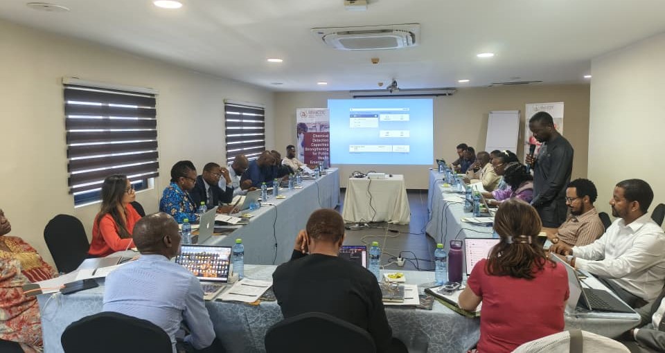
laboratory systems using GIS-based capacity mapping
Building on these insights, Africa CDC and ASLM are advancing a self-assessment, sustainable approach to data collection, enabling countries to continuously update and own their laboratory data. This shift moves countries beyond one-time assessments toward continuous system strengthening, driving: More efficient decision-making, Stronger disease surveillance systems and Smarter and more equitable resource allocation and Greater alignment with JEE preparedness and response goals.
With the development of an interactive GIS decision-support dashboard, countries will now visualize gaps in real time turning data into actionable intelligence. With tool integration, translation, and pilot testing progressing toward October 2026, and a Steering Committee guiding implementation, the initiative is rapidly advancing toward continental scale. What makes this effort transformative is the shared commitment behind it. Countries, regional institutions, and global partners are working together toward a common goal: A future where no outbreak goes undetected, no region is invisible, and no community is left behind. This is not just mapping laboratories. It is mapping Africa’s resilience, readiness, and future.
About the Initiative
The GIS Laboratory Mapping (LabMap) initiative, led by Africa CDC in partnership with ASLM, and guided by the Framework for GIS Mapping of Laboratory Systems and Network Capacities in Africa, has mapped laboratory systems and network capacities in 29 countries, covering over 5,558 laboratories laying the foundation for stronger, smarter, and more connected health systems across the continent.